Replace the underground-river picture
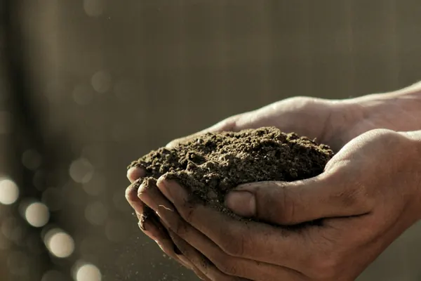
The phrase groundwater can suggest a vast river flowing through a cavern beneath every town. The US Geological Survey offers a more useful ordinary model: water in the spaces between soil and rock particles, rather like water held within a sponge. Gravity and pressure help move it, and the properties of the subsurface influence the routes and rates.
The picture matters because a hidden system is easy to oversimplify. Once groundwater is imagined as something filling connected spaces, questions about storage and movement become more precise than asking where the underground river begins.
Hidden does not mean separate
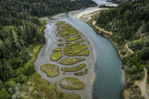
The USGS explains that groundwater contributes to many rivers and streams and is part of the wider water cycle. A stream's visible surface is therefore not necessarily the full account of where its water comes from. The relationship between what is above and below ground can be an important part of understanding a landscape.
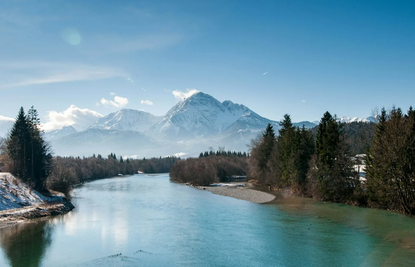
This is a helpful distinction for readers. A photograph can show a river beautifully, but it cannot reveal every source of its flow. Some parts of a place require measurements and explanation rather than a more dramatic camera angle.
Ask what a local map represents
Look for an official educational map or water resource from the authority responsible for your area. Before interpreting colors and lines, read the legend. Is the map showing rock formations, a water level, a supply area, or something else? A map is built to answer a particular question.
Write that question beside any notes you make. This keeps you from using one kind of map to answer a different problem. It also makes unfamiliar technical material less intimidating: you do not have to understand every detail before you can identify what the document is trying to show.
Make room for different timescales
A store of water below ground and a puddle after rain need not respond on the same timetable. The USGS describes groundwater movement as varying with the material and setting. That is a reason to resist drawing large conclusions from one wet or dry day above the surface.
When a groundwater story appears in the news, ask about the location, the depth or formation being discussed, the measurement period, and the comparison being made. You can ask these questions without pretending to evaluate a technical model yourself. The aim is to keep the hidden system from becoming a vague metaphor. Groundwater is real water in real materials, and understanding it starts with giving its geography and its timescale the same attention we readily give the visible river nearby.
Sources & further reading
Source links provide context for this original feature. Illustration is not documentary evidence of a specific event.