A coastline that changes shape
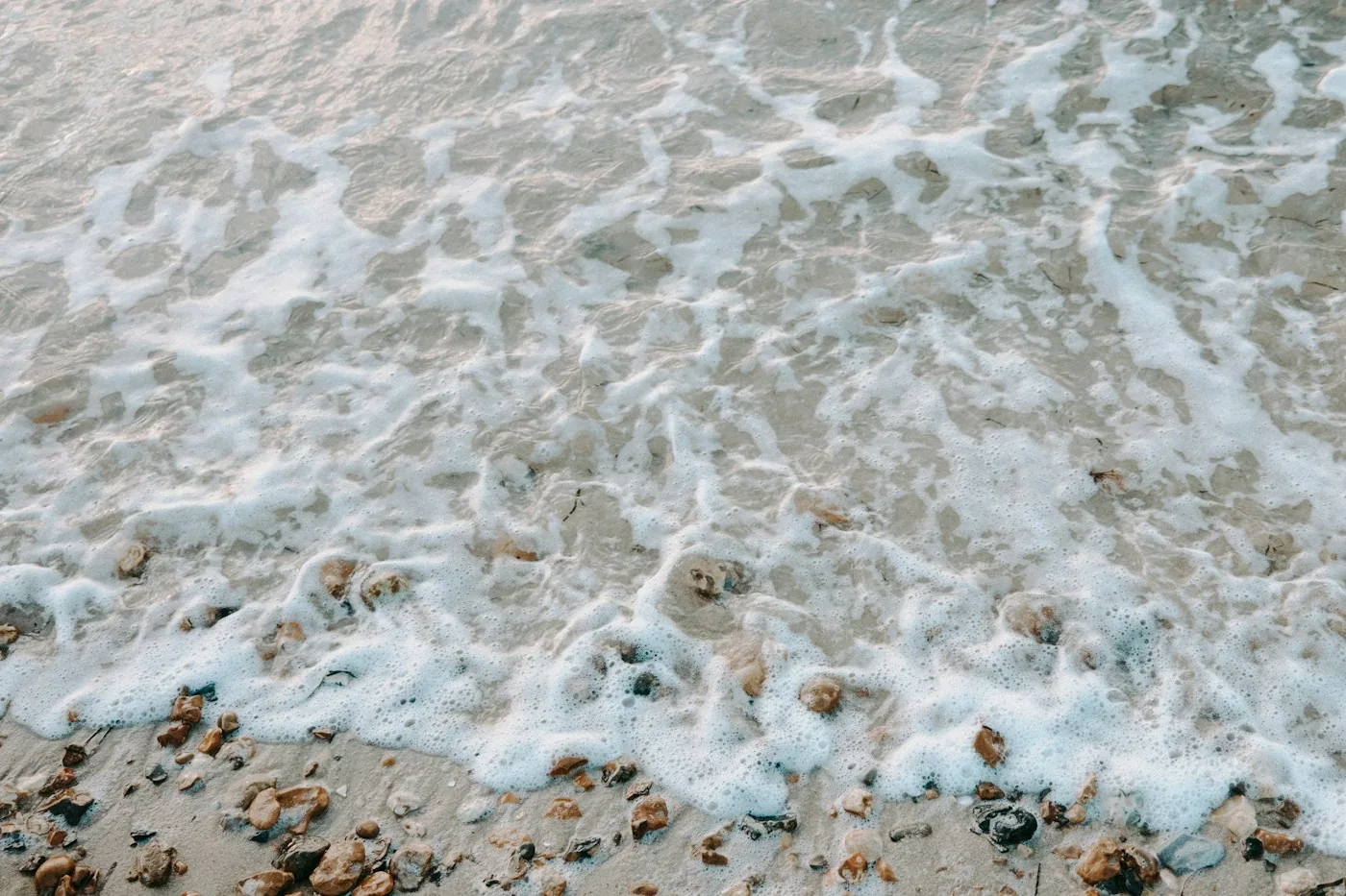
At one moment a beach offers a broad stretch of sand; later the same route is underwater. Tides are long-period waves associated with forces from the Moon and Sun. At the coast, their passage appears as a rising and falling sea surface. NOAA calls the height difference between high and low tide the tidal range.
This vertical change often comes with horizontal water movement. The incoming flow is called a flood current and the outgoing flow an ebb current. Water level and current are related ideas, but they describe different aspects of the changing coast.
A local table matters
A general explanation of tides does not replace a prediction for a specific place. An unfamiliar inlet, harbor, or stretch of rocks deserves local information rather than an assumption based on yesterday's visit somewhere else. Even a photograph marked low tide leaves important questions unanswered unless its location and timing are known.
For planning an ordinary visit, start with the official local tide information and any access notices. Treat the timetable as part of understanding the destination, just as you would check a closing time before visiting a building. The coastline has a schedule of its own.
Make a shoreline comparison
From a safe, fixed viewpoint on land, notice three markers: perhaps a pier support, a line of rocks, and a section of sand. Return at another point in the tide and compare what remains visible. Sketching the outline can make the difference easier to remember than taking several nearly identical photographs.
Do not use the exercise to test a crossing or walk into an area that may be cut off. The observation is most useful when you can keep the same comfortable viewpoint. Watching the boundary move is enough; following it into a hazardous place adds nothing to the explanation.
Separate a view from a route
A coastal photograph can make a distant patch of sand seem continuous with the path in front of you. Before reading that as an invitation to walk, ask what happens when the water rises and where the return route lies. A beautiful view and a suitable route are separate judgments.
That distinction also improves the way we describe beaches. Instead of calling a shore empty or exposed as though those were permanent qualities, add the time and tide. The words become more accurate, and the place becomes more dynamic. A shoreline is not a line drawn once on a map. It is a boundary you meet at a particular moment, with water already preparing the next version.
Sources & further reading
Source links provide context for this original feature. Illustration is not documentary evidence of a specific event.