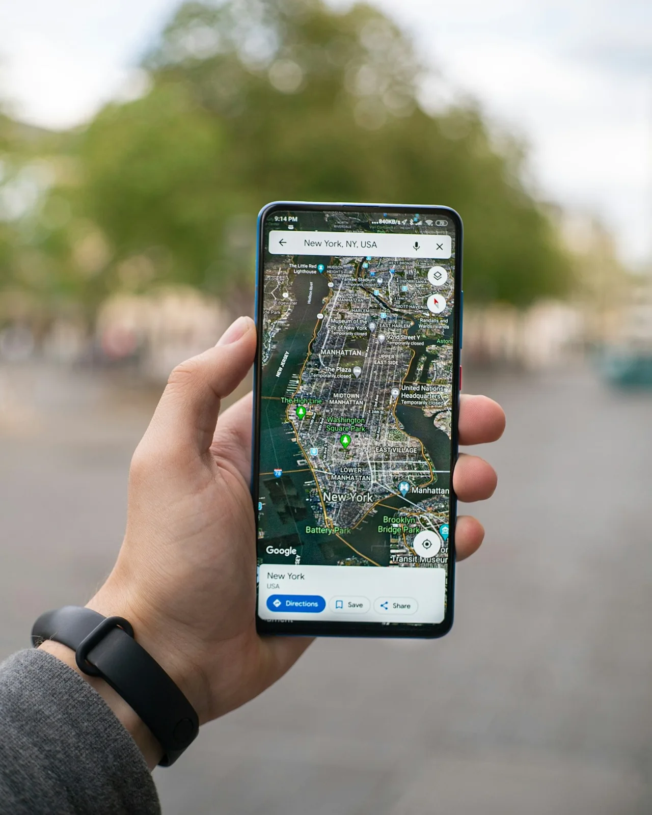
A map pin begins before the map
When a phone places a dot on a map, it is easy to imagine a satellite watching the person below. GPS works differently. Satellites broadcast signals carrying timing and position information. A receiver uses the travel time of signals from multiple satellites to work out a position. NIST's explanation emphasizes the precision of the timing behind that process.
The map is a useful display built around the location estimate. It is not the measurement itself. Separating those layers makes several everyday navigation experiences easier to understand, especially when the screen seems more certain than the situation around you.
The dot and the address are different
A position, a mapped road, and a named destination are separate pieces of information. A person can receive a location estimate yet still choose the wrong entrance to a large building. A map can show a route that does not answer whether a particular gate is open.
For an unfamiliar destination, check the practical detail that matters: the entrance, platform, pickup point, or walking access. Treat the blue dot as one source of orientation rather than the complete description of the place. This is a reading habit, not a claim that the underlying measurement is always wrong.
Notice how an estimate is presented
Open the mapping application you already use and look at how it expresses uncertainty. Does it show a surrounding circle, a direction arrow, or a message about finding a position? Read its official help if the symbols are unclear. The display is designed to summarize a complicated process, and knowing its vocabulary helps you interpret it.
Try the exercise while standing safely still. Compare the screen with obvious landmarks such as a building entrance or a street corner. There is no need to walk into traffic or follow a suggested turn just to see what the dot does next.
Precision also has a wider role
NIST explains that GPS timing supports activities beyond personal navigation, including comparisons among clocks. That broader use is a reminder that the visible consumer feature can be only one application of a technical system. A timing network can become a position service, and that service can become a familiar interface.
The next time a navigation instruction feels confusing, identify which layer is responsible for the confusion. Is the position still settling, is the map difficult to read, or does the destination have an entrance the label does not show? Asking the narrower question often suggests a practical next step. The impressive part of GPS is the measurement; the useful habit is remembering that navigating a real place still involves interpreting what the measurement means.
Sources & further reading
Source links provide context for this original feature. Illustration is not documentary evidence of a specific event.